|
Home Page
Glen Echo
The Town
Chautauqua
Amusement Park
• Post Cards
• Souvenirs
• Tickets
• Early Programs
Modern Times
History Book
Cabin John
The Town
The Hotel
Amusement Park
The Bridge
Legends
History Book
Great Falls
Post Cards
Other Stuff
Conduit Road
The Trolleys
Buildings
The Aqueduct
The Road
General
Capital Transit Passes
Historic item Trader
Minnie Brooke Postcards
|
Cabin John as it looked in 1912
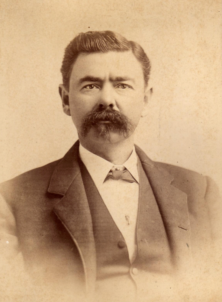
J. S. Tomilinson bought up large tracts of land in Cabin John to create 'Cabin John Park', a new suburban development
Cabin John in 1912
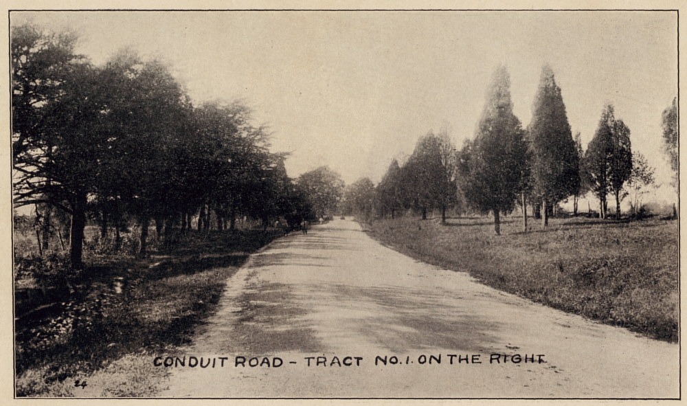
Looking west on Conduit Road, now MacArthur Boulevard, from just past the Cabin John Bridge Hotel.
Cabin John in 1912
The entire history of the Cabin John area is far too big a task to undertake in a webpage, anyway the overall history of the area is already competently documented in the recent book by Judy Welles.
This page presents a 'snap-shot' of Cabin John just prior to its suburban development which began in earnest in 1913.
The majority of the images are from the wonderful booklet that J. S. Tomlinson published promoting land sales for his 'American Land Company'. The images in Tomlinson's pamphlet are low-grade half-tones and required extensive digital processing to bring them to the quality and clarity seen here. These retouched images are copyrighted.
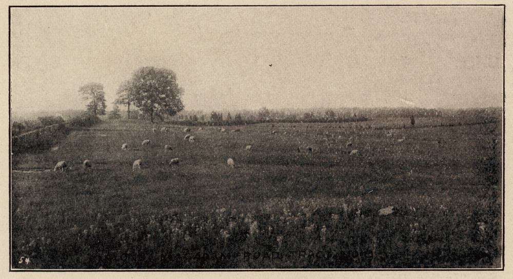
A large sheep pasture in Cabin John, before Tomlinson began development most of Cabin John was farm land.
Cabin John in 1912
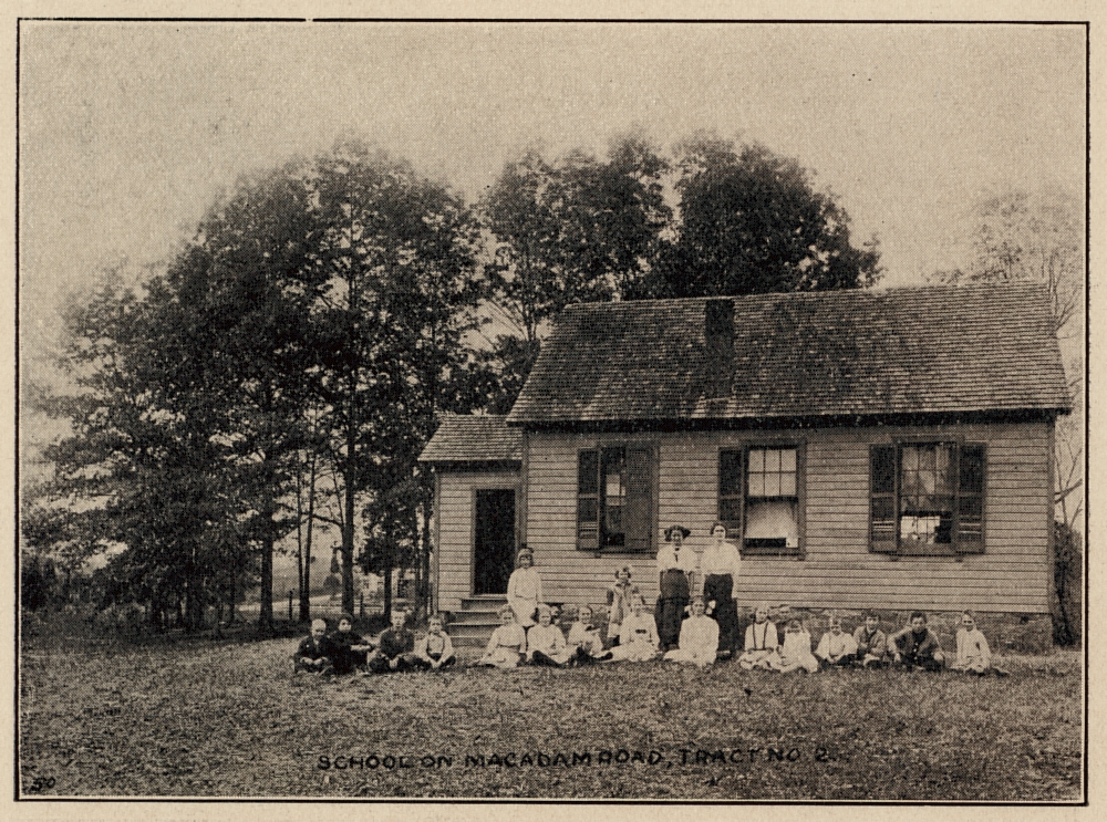
An early one-room school house on Macadam Road (now Seven Locks Road)
Cabin John in 1912
Cabin John has never been an incorporated town. Its boundries and limits are often debated; but for the sake of this page it refers to the area bounded on three sides by the C & O Canal, the Cabin John Creek, and Persimmon Tree Road. The remaining side falls somewhat short of River Road. The majority of this tract was purchased around 1911 by J. S. Tomlinson, owner of the American Land Company. Tomlinson sub-divided the land into lots and began selling them around 1912.
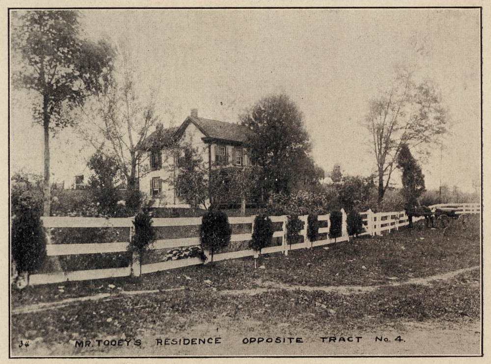
The Tooey family homestead. This old Cabin John family name is also spelled Touhy or Touhey in some documents
Cabin John in 1912
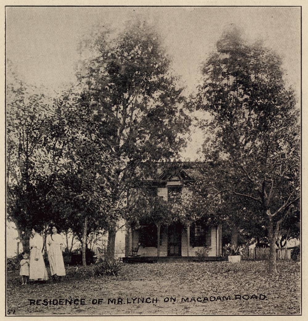
The Lynch family were also long-time Cabin John residents.
Cabin John in 1912
Before Tomlinson, most of the land in Cabin John was owned by a few families. Most of the land Tomlinson bought came from just three owners. Several other families had smaller farms along the Conduit Road (now MacArthur Boulevard).
The Touhey and Lynch families were both long-term residents in Cabin John, members of both of these families were employed at Glen Echo Park at various times. The Touhey family also ran a general store and a tavern over the years.
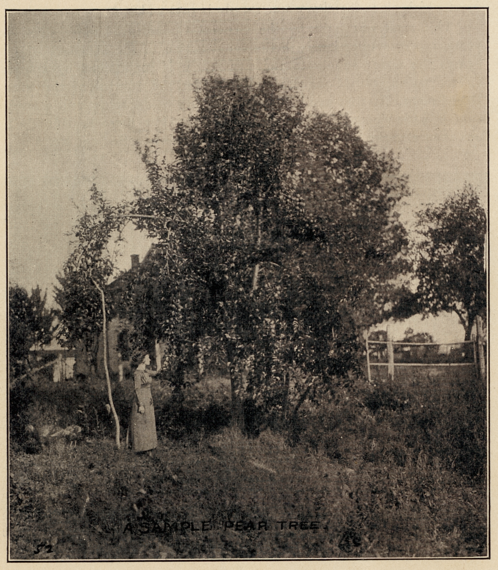
Look carefully and you will see an old farm house behind the pear tree.
Cabin John in 1912
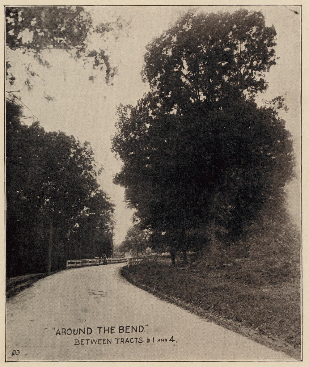
A sweeping curve on the Conduit road, heading west.
Cabin John in 1912
The image to the left shows an old farm house behind a mature pear tree. Cabin John had good soil for fruit trees and apple and pear trees were abundant.
Conduit Road provided an excellent transportation route to and through Cabin John. The road ran from Georgetown in D.C. to Great Falls passing through Cabin John on the way. The trolley line from Georgetown to the Cabin John Bridge was also a popular means of transportation.
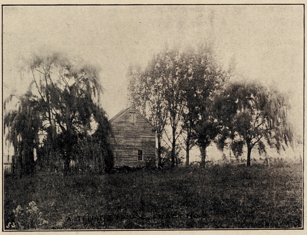
Another old farmstead in Cabin John
Cabin John in 1912
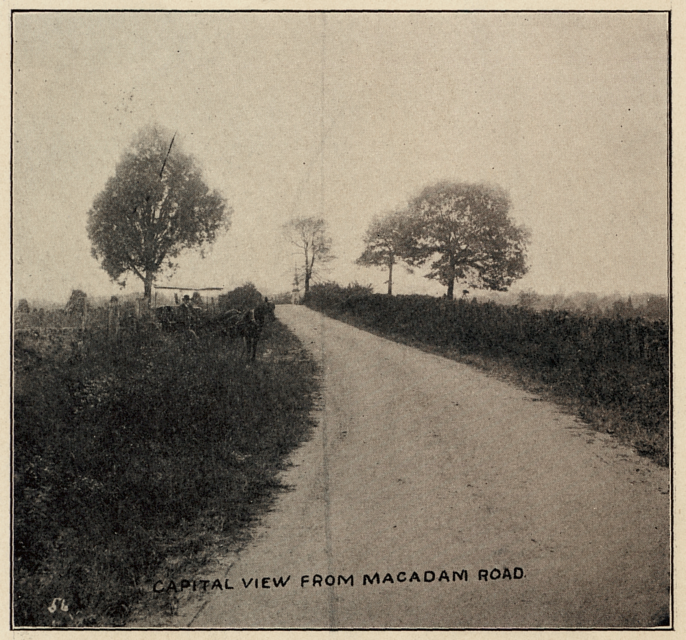
View of Seven Locks Road, one of the better paved roads in the area
Cabin John in 1912
In the 1700's, most of Montgomery County was farmed in tobacco. Unfortunately, tobacco is very hard on the soil and the early 1800's most of the soil was so depleted that few crops could be successfully grown. Dairy farming or sheep farming was one alternative as it only required that grass would grow reasonably well.
Much of cabin John was pasture land, most farms has small farm gardens and a few fruit trees surrounded by pasture land.
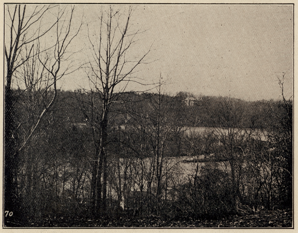
An palatial home on the Virginia palisades, seen from Cabin John
Cabin John in 1912
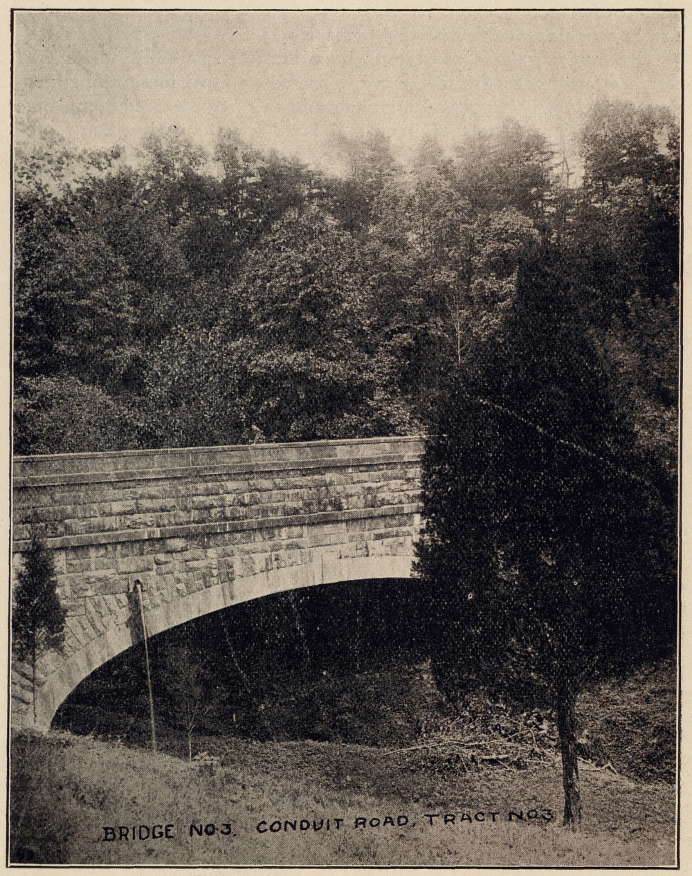
Bridge Number 3 of the Washington Aqueduct in Cabin John
Cabin John in 1912
Since Cabin John was mainly farm land, the Potomac River, Canal and Virginia palisades were visible in many places from Conduit Road. These views were Cited by Tomlinson as a feature of his lots.
The presence of the Washington Aqueduct under the Conduit Road was a great advantage to Tomlinson. Conduit Road was maintained by the U.S. government and was considered one of the best road surfaces in the Washington area.
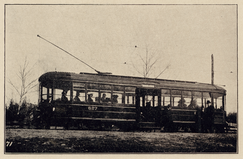
The trolley line ran to the Cabin John Bridge, but did not cross the valley into Cabin John.
Cabin John in 1912
The trolley line had been running to Cabin John since 1896, the ride was pleasant and the scenery unsurpassed. Transportation was crucial to any suburban development as all the jobs were in the city.
During the summer months the trolley company ran open-air cars. These cars were little more than a platform with bench seats and a roof; there were no sides at all. Customers complained when it rained and they got wet.
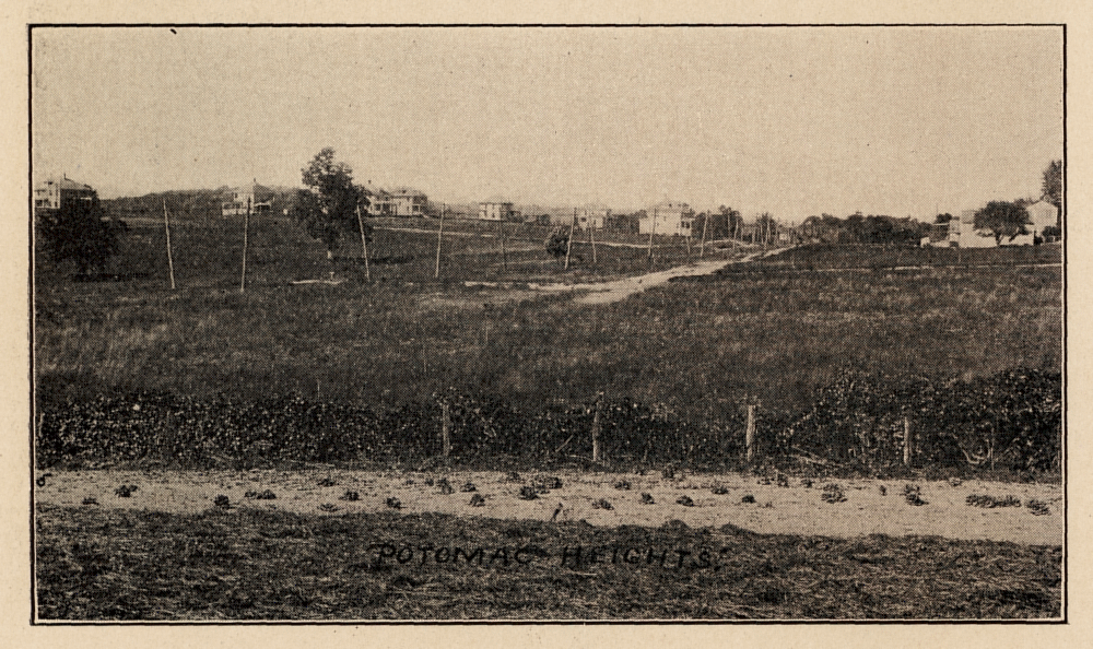
Land along Conduit Road inside the D.C. line, selling at much higher prices than Cabin John
Cabin John in 1912
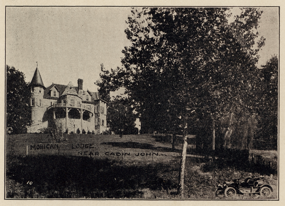
The home of Edward Baltzley in Glen Echo Heights (now considered Mohican Hills)
Cabin John in 1912
When traveling to Cabin John, either by trolley or on the Conduit Road, you would pass other developments. Some were simple home sites, but some were set aside for grand stone homes. In Glen Echo Heights buyers were expected to build 'a substantial stone home'. Cabin John was the least expensive lane between the city and Great Falls.
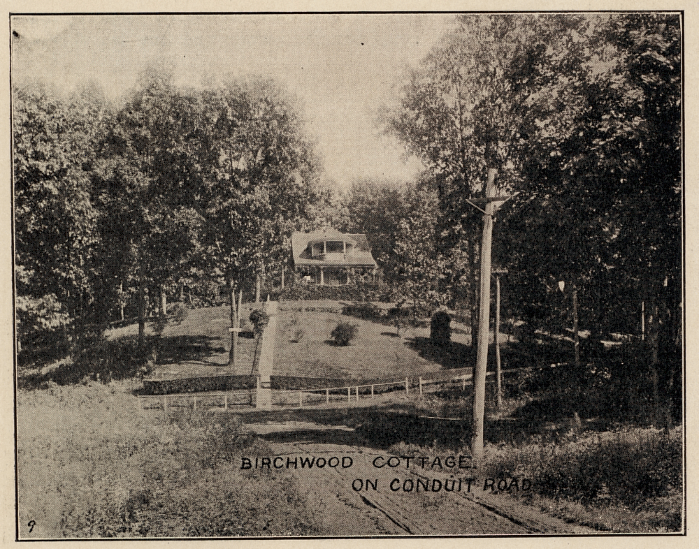
Birchwood Cottage near Glen Echo
Cabin John in 1912
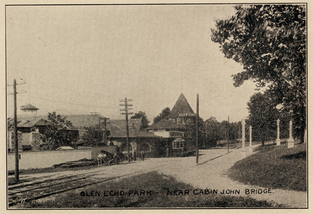
The trolley passed directly in front of Glen Echo Park
Cabin John in 1912
Several fine homes stood along the way out to Cabin John, Birchwood Cottage sits between Mohican Hills and Goldsboro Road, it is now surrounded by several newer homes.
The trolley line ran right in front of Glen Echo Park on the way to Cabin John. A trolley can be seen in the photo to the right sitting at the park's entrance.
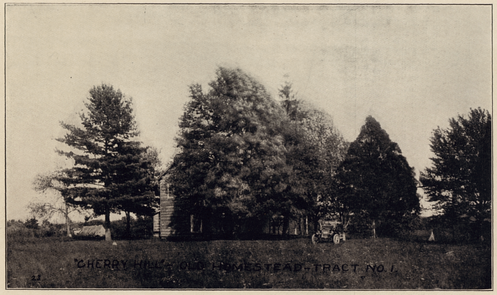
Another old homestead
Cabin John in 1912
Tomlinson was a master of promotion; he touted Cabin John as convenient, beautiful, and healthy. A good place for a truck farm, or just to raise a family.
He also capitalized on the legends related to John of the Cabin, who many believed that area was named after. One version of John's story was that he was a retired pirate, with a fortune in gold hidden somewhere in the Cabin John area. Many early Tomlinson deeds contained a clause stating that his American Land Company was entitled to half of any treasure found on the property.
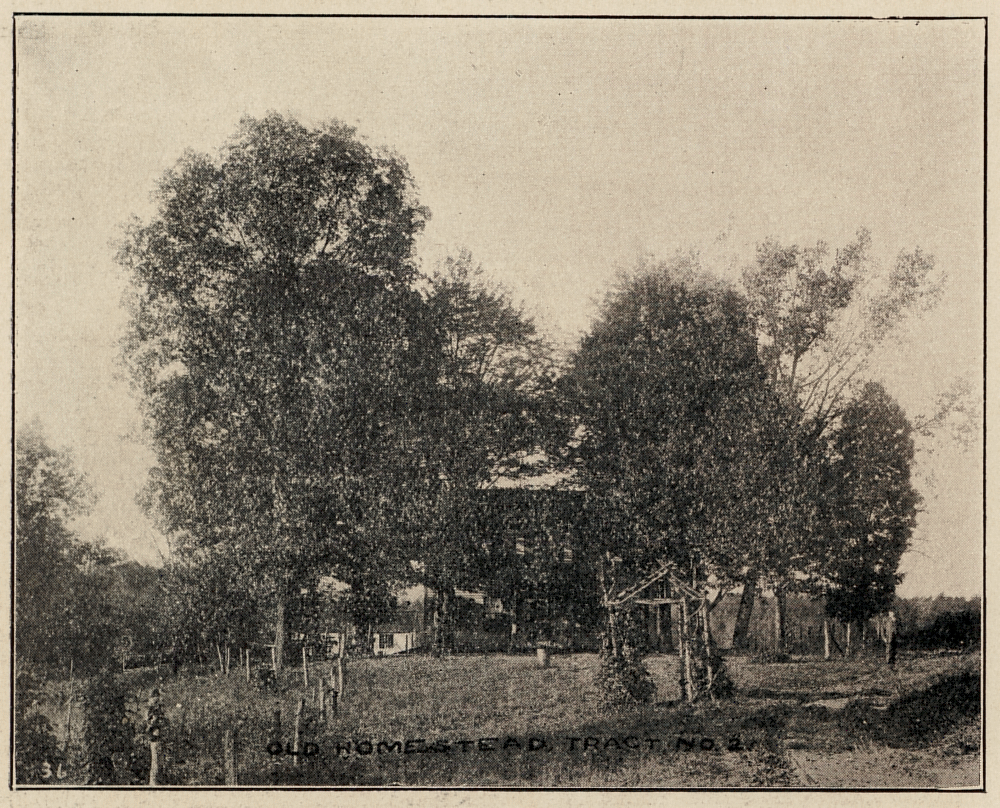
Yet another old homestead
Cabin John in 1912
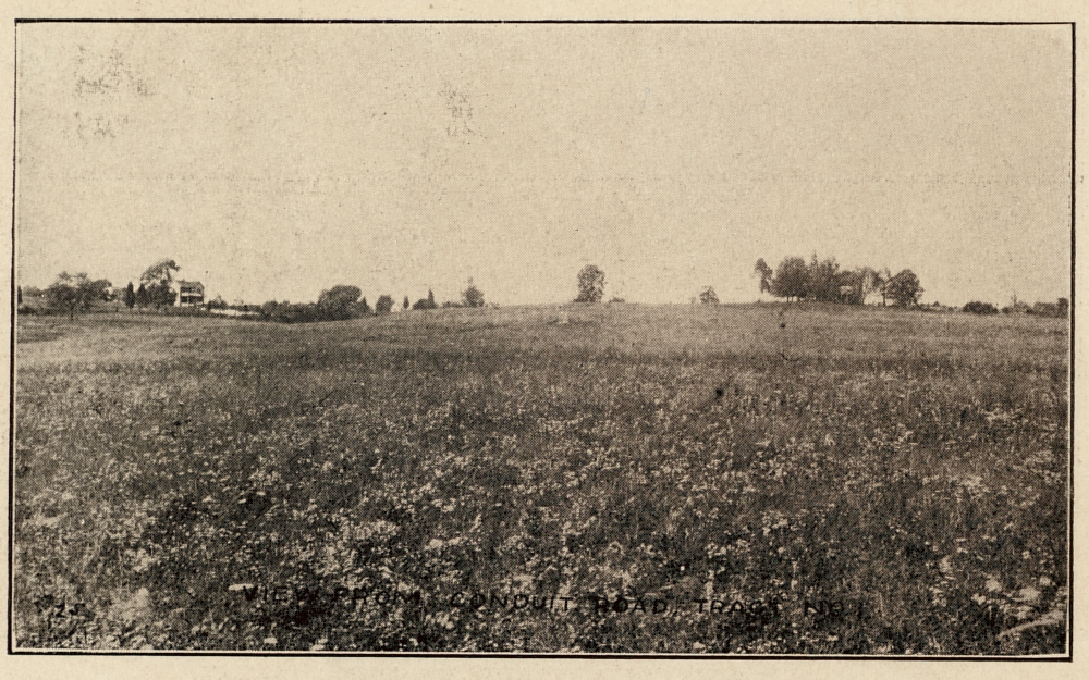
Farmland with an old home in the distance
Cabin John in 1912
Tomlinson claimed that the high elevations at Cabin John were healthier than living in the bad airs of the city. His photos of open farmland were a stark contrast to busy city life.
The sale brochure showed many old homesteads, stating that their locations would be perfect for new homes.
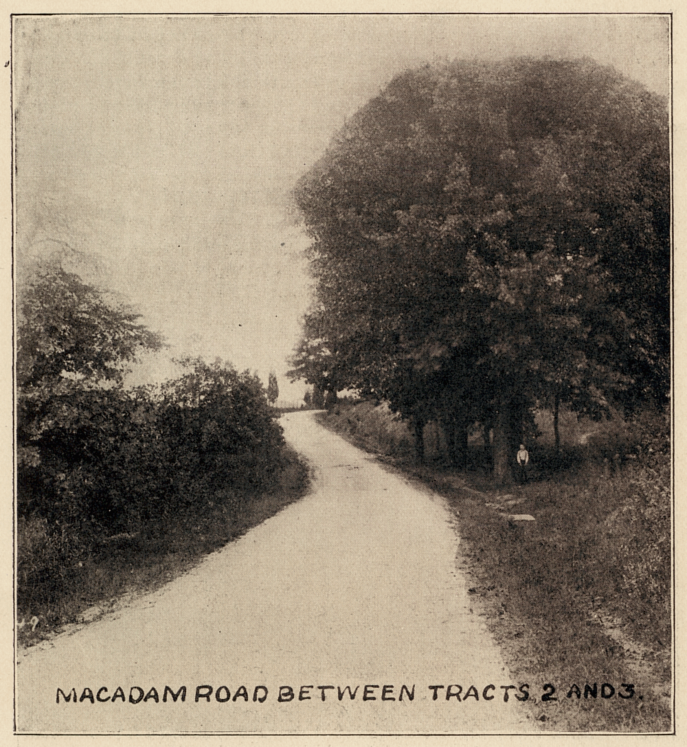
Grand old trees on Seven Locks Road
Cabin John in 1912
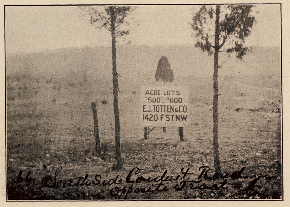
Land in Cabin John for sale by another company showing their higher prices
Cabin John in 1912
Tomlinson boasted that his Cabin John land was the best deal around, he printed a list of other developments and their prices as compared to his prices. He even included the photo to the right showing a competitor's prices right across the road from his land at more than twice his price.
Tomlinson divided his land into four sections and printed maps for each section, showing which lots had already sold (get yours before they are all gone!)
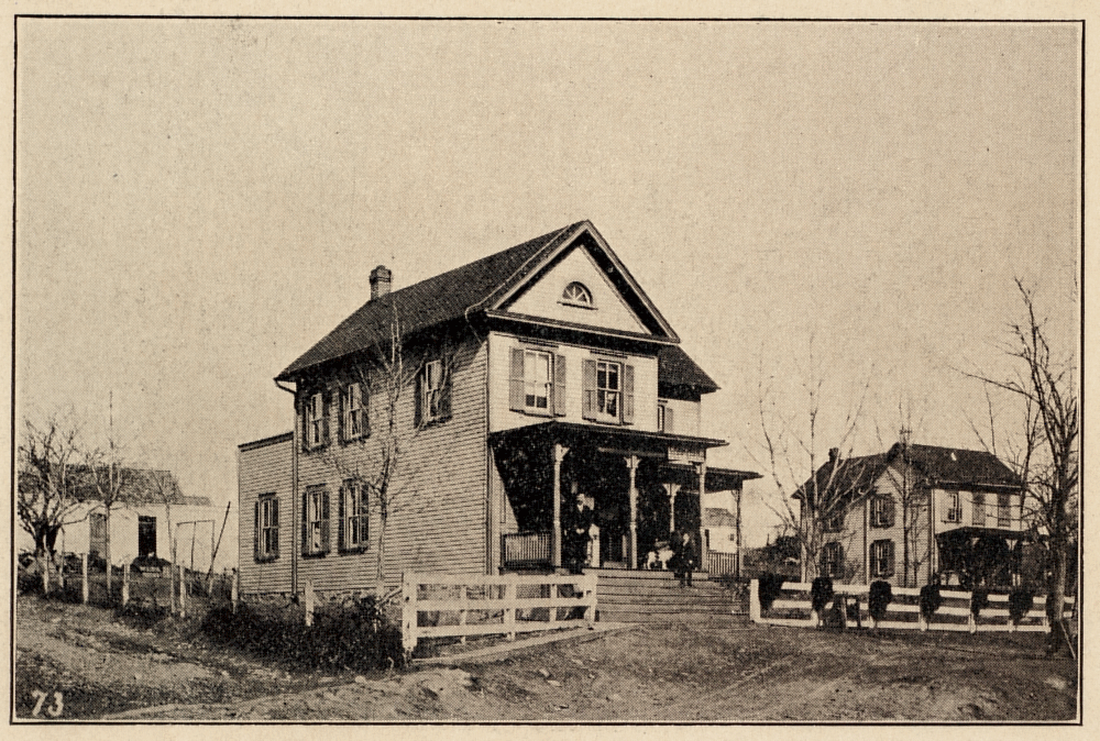
The Cabin John Post Office in 1912, run by the Touhey family (also the general store)
Cabin John in 1912
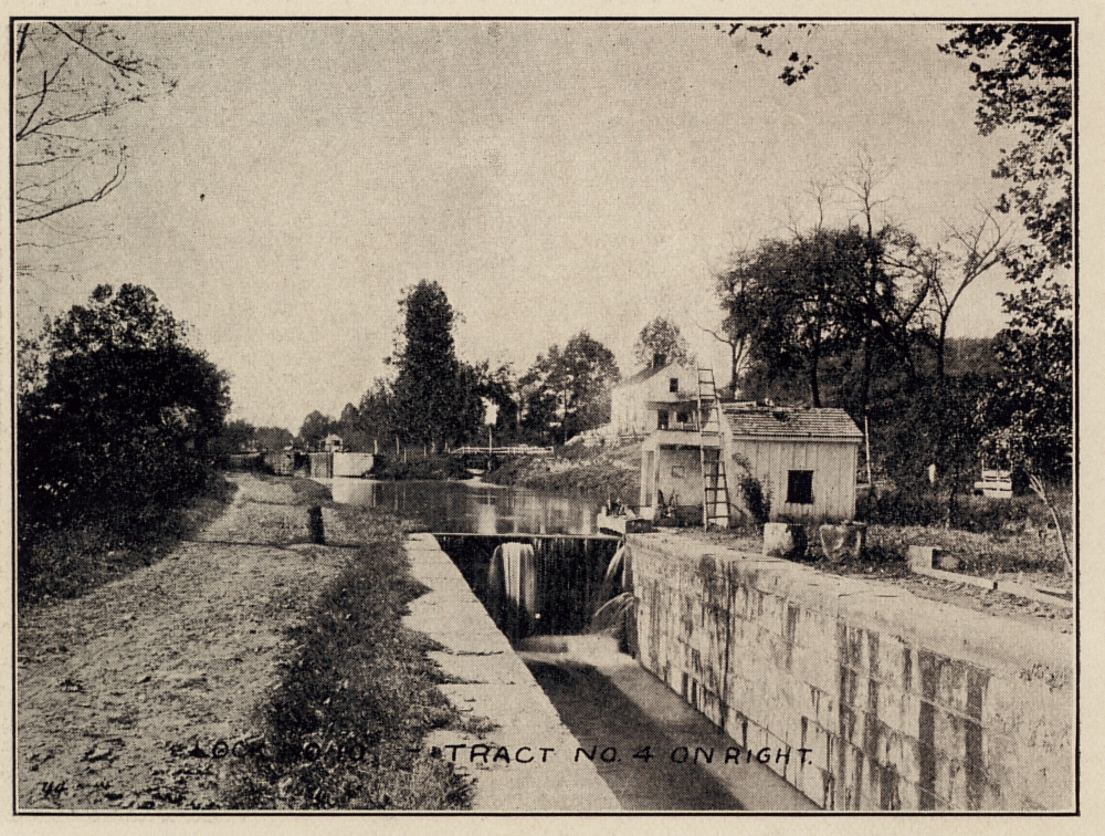
Locks 9 & 10 on the C & O Canal
Cabin John in 1912
Up until Tomlinson came along, the focus of life in Cabin John was centered around the area near the intersection of Conduit Road and Seven Locks Road. Most residents said they lived in Seven Locks rather than in Cabin John. In the 1870's the Cabin John Post Office was in the Cabin John Bridge Hotel under Joseph Bobinger, the large concentration of residents petitioned the Postal Service to relocate the Post Office at Seven Locks where most of the residents lived.
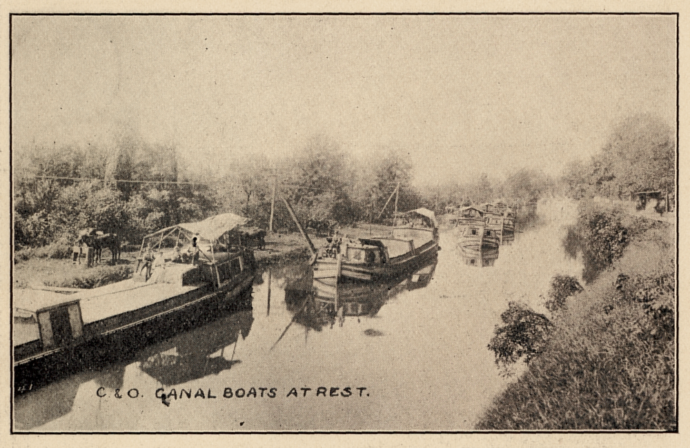
Barges on the C & O Canal in the Cabin John area.
Cabin John in 1912
The C & O Canal played an integral part in Cabin John life, The lockkeepers and their families were active members of the community, as were some of the bargemen. Some bargemen kept their homes in Cabin John while plying their trade on the canal, spending the winters when the canal was frozen at their Cabin John homes.
Lockkeeping was a 24 hours a day job, so a family was a must, allowing the lockkeeper to get some occasional sleep. The closing of the canal in 1924 had a large impact on Cabin John due to the loss of jobs.
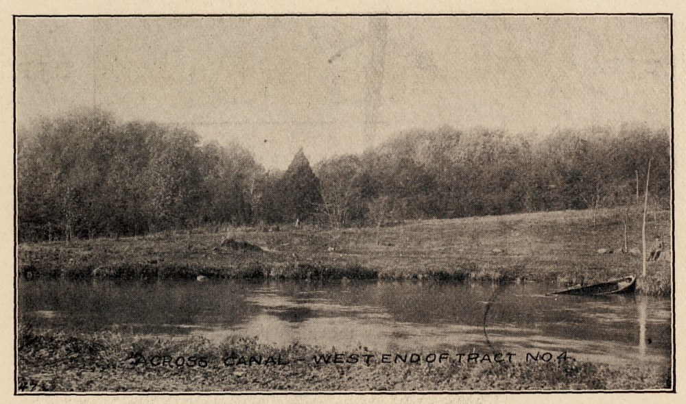
A view of the gentle slopes from the canal to the farmland in Cabin John. This was lost when the Clara Barton Parkway was built.
Cabin John in 1912
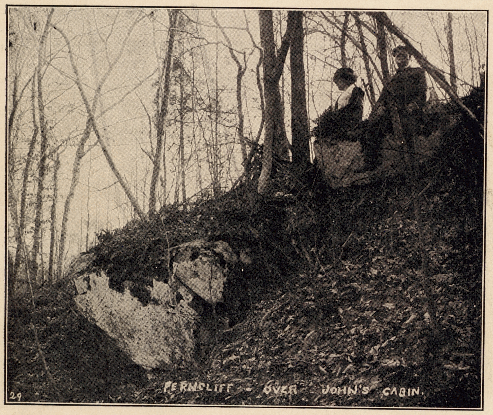
Tomlinson chose this point as the place that John of the cabin used as a lookout.
Cabin John in 1912
Tomlinson included several photos of the canal in his brochure, though it is difficult to understand why he did unless it was to show a method of transport for farm goods to the city.
In general canal life was dangerous and crime was commonplace. Family income was unsure as the weather adversely impacted canal life. The canal was in competition with the railroads, which eventually won out.
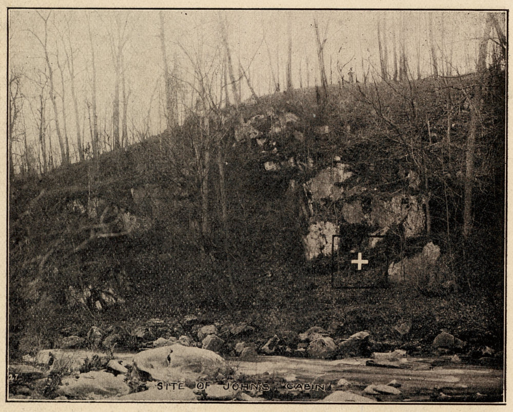
The spot Tomlinson claimed that John of the Cabin lived
Cabin John in 1912
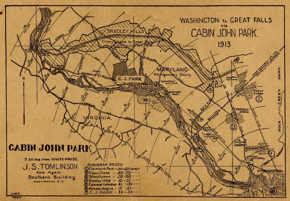
Tomlinson's map showing the location of Cabin John relative to Washington D.C.
Cabin John in 1912
The lure of legend was used in Tomlinson's promotions as well. Photos of likely spots where John lived, hunted, and kept a lookout were included in his brochure. More can be found about John of the Cabin and other legends of the origin of Cabin John's name on the legends page.
|
|


